Newfoundland Travel GuideBest Places to Go
Welcome to this Newfoundland Travel Guide!
The province of Newfoundland and Labrador may not be high on the radar of travellers to Canada, but it certainly has a lot to offer. The east coast of Canada has unique nature, culture, experiences, and good food to offer.

I fly from Stuttgart, where my boyfriend and I are taking a trip. However, in Stuttgart, Ryanair is 4 hours late and I’m getting a bit pressed for time. After landing in Manchester, it becomes clear that I can’t make the next flight, this time to Dublin.
I don’t give up and run to pick up my bag. Time flies relentlessly and while waiting at the bag belt I notice that the clock reads… an hour less! This time shift, which I had completely forgotten about, really took the thorn out of my side.
Thus, I proceeded to Dublin, where I sought refuge in the airport’s children’s play area. But at night, someone breaks into my castle. For God’s sake, shouldn’t the children be asleep by this hour?
With the dawn, I board a Westjet flight to Newfoundland’s capital, St. John’s, a journey of less than 5 hours.
A province of half a million
St. John’s (not Saint John, which is a different city in a different province) is the capital of Newfoundland and Labrador, a province made of the island of Newfoundland and the north-eastern corner chipped off the Labrador Peninsula. It covers 405,202 sq km and holds a little over half a million people. Most of them live on the island; the hardier few in Labrador are mainly Indigenous. The name is pronounced “New-fun-land”.
Britain held on to the place for its fisheries and let it go only in 1949, when it joined Canada; these days the economy runs on minerals rather than cod. The language took me longer. Most of the first settlers on the coast were Irish fishermen, and their descendants speak an English so thick with Ireland that for the first few days I understood about as much as I had in my first week in New Zealand, years earlier, when Kiwi English came at me like a radio caught between stations. The island also keeps its own clock, half an hour ahead of the Maritime provinces and four and a half hours behind Prague.
Before any of them came the Beothuk. When the Europeans arrived, the two sides fought over the caribou, fish and seals, and the Beothuk were pushed inland, away from much of what had fed them; tuberculosis and the other diseases the settlers brought, together with outright violence, did the rest. The last known Beothuk, a woman named Shanawdithit, died in St. John’s in 1829.
The first villages had no roads. The Irish who built them along the coast came and went by boat, and Trout River, now inside Gros Morne National Park, could be reached only by sea until relatively recently; electricity arrived there a few decades ago. Today almost every village is stitched to Route 1, the Trans-Canada Highway, which I travelled in its entirety, mostly in other people’s cars.
Newfoundlanders are known to the rest of Canada as Newfies, pronounced “Noo-fees”, and are the subject of a good number of its jokes. Many of them once worked in the oil industry. During the economic crisis a large share of them lost those jobs, and the jokes, as far as I could tell, carried on regardless.
The dogs are local, too. The Newfoundland and the Labrador retriever both began as working dogs for the fishermen here, and the Labrador’s particular job was to fetch nets out of the Labrador Sea, which explains the webbed feet, though not the enthusiasm for tennis balls.

Getting around
Public transport on the island is thin, and renting a car is the easiest way to see this little-visited corner of Canada, since a car will take you to the parts the buses never reach. I did not rent one.
Somehow I found myself on the outskirts of St. John’s, thumb outstretched, in a bid to catch a ride. My first solo hitchhiking ever. I was dropped off by a dad from the family I was volunteering with for a week, whereupon he tells me:
“Simona, I used to hitchhike when I was young, like 25 years ago. But now, nobody does it anymore. Nobody’s going to pick you up.”
“Perhaps,” I replied, “but I shall at least make the attempt.”
“Whatever, but I’ll probably pick you up tonight at the same place,” he said, wished me luck, and drove off.
So I put up a thumb and a sign saying “WEST” and I have so much adrenaline I could give it away. After a while, the car pulls up, I look at the driver, “I guess it’s okay”, I say to myself and get in.
Newfoundlanders are known across Canada for being nice, and they seldom leave anyone standing at the roadside for long; their hospitality is also hard to refuse, though I did not try especially hard. Hitchhiking is slower than the bus. It is also a good deal more diverting than watching the country smear past a coach window.

There are other ways. Several companies run buses across the province, and Wanderu is a good place to find the timetables; car-sharing is common as well, arranged on Kijiji or through one of the many Facebook groups.

Where to sleep
I slept mostly in the wild. For anyone on a budget the alternatives run roughly as follows: campsites at $20 to $30 a night; a sofa with a local through Couchsurfing or BeWelcome; hostels such as the Skerwink Hostel, which give you a free bed in exchange for a few hours’ work a day; and, failing all that, Booking.com and Airbnb. The HI Hostels network operates here too, and its membership card brings discounts on both beds and transport.
Rooms for longer stays are not hard to find. Kijiji.ca and craigslist.ca list them alongside jobs, lifts and a miscellany of other services, and they were the first two sites I opened whenever I needed anything at all.
Work and volunteering
Finding a job in St. John’s, good or otherwise, can be quick or slow, and depends on several things, chiefly luck. Volunteering is easier. Workaway, HelpX and WWOOF all list hosts on the island, and they are a way to learn a skill or two while seeing the place from inside a local household; I used Workaway a great deal during my time in Canada and can vouch for it. In Portugal Cove, one evening, I made dumplings for dinner.

Cod, Screech and a kiss
I cannot write about Newfoundland without the food. The local favourite is fish and chips, the fish battered and fried until it crackles and served with a splash of vinegar; unless the menu says otherwise, the fish is cod. It has come out of the Grand Banks for centuries, and the island’s fishing history is, in large part, the history of that one fish. At the Seaside Restaurant in Trout River, on the Gulf of St. Lawrence, I ate fishcakes with a bowl of cucumber marinated in mustard in the middle of the table.

The island’s rite of passage is the Screech In: a shot of Screech, the local rum, followed by a kiss planted on a codfish. Those who get through it are made honorary Newfoundlanders. The cod, near as I could tell, had no say in the matter.

Then there is the drinking. Christian’s Bar is on George Street, the liveliest street in St. John’s, and the Quidi Vidi Brewery makes its beer from iceberg water. Newfoundland folk music has a reputation well beyond the island, so it is worth finding a bar with a band; the Newfoundland and Labrador Folk Festival is held in early August, and the George Street Festival runs from late July into the first days of August.
From parts of the south coast you can see France. Not the mainland, but Saint-Pierre and Miquelon, a pair of islands still administered by Paris, which kept France’s access to the Grand Banks, once among the richest fishing grounds in the world and now nearly emptied of cod. A passenger ferry runs there from the town of Fortune, and an adult return ticket costs around €73 (current fares at spm-ferries.fr). If you find yourself craving something French — a decent bottle of wine, say — take euros.
St. John’s
St. John’s is known for its colourful streets. What struck me was how few people were on them: more than half of the island’s population lives in and around the city, and still I could walk several blocks without passing anyone, which turned out to be true of nearly everywhere else I went.

The museum, The Rooms, is built in the shape of the old sheds where fishermen stored their catch. Inside it covers the island’s history, including a section on the Moravian Brethren, a church with its roots in the Czech lands I had come from, whose missionaries ended up on the coast of Labrador. Entry is free on the first Wednesday of every month, from 5pm to 9pm.

Down in the harbour is the Terry Fox Memorial, at the spot where in 1980 he set off on his Marathon of Hope to raise money for cancer research. The plan was to run the length of the Trans-Canada Highway to Victoria, British Columbia. He did not get there. Near Thunder Bay, Ontario, he was forced to stop when the cancer reached his lungs.

Signal Hill, Cape Spear and the East Coast Trail
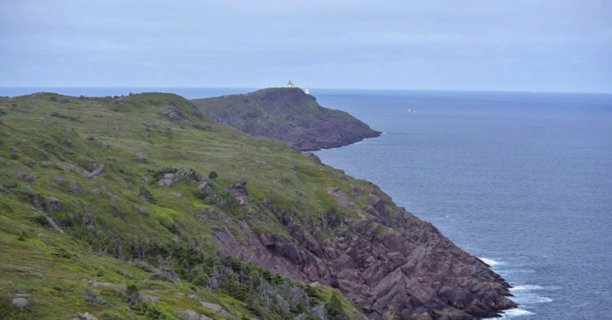
Signal Hill sits above the city, and Cape Spear, the easternmost point of North America, lies on the East Coast Trail, which runs for more than 300 km along the shore from Portugal Cove through St. John’s to Cappahayden and threads together some 30 communities. Nobody expects you to walk all of it. The 3.7 km stretch from Cape Spear to the old fishing village of Blackhead is a fair sample.

Fine weather on the trail is a rarity, and Newfoundland’s weather in general is given to surprises; in July, when I was there, the average temperature hovered around 10C (50F). Pack warm clothes, even in summer. I swam in the Atlantic anyway, mostly so that I could say I had swum in it from both sides.

Whales and puffins at Bay Bulls
June to August is the season for wildlife, and Bay Bulls is said to be one of the best places to see it. Boats go out from the harbour. The Witless Bay Ecological Reserve, just offshore, holds North America’s largest colony of Atlantic puffins, more than 260,000 pairs, at their most numerous from mid-June to mid-July; humpbacks and several other species of whale come into the bay to feed in summer.
Mistaken Point
South of St. John’s, near Cape Race, is Mistaken Point, one of the most important fossil sites on earth: a 565-million-year-old seabed printed with the remains of the Ediacaran biota. It got its name from sailors who, in fog, took it for Cape Race and turned north expecting the harbour. Instead of a harbour, they found rocks.

The Bonavista Peninsula
West of St. John’s, the Bonavista Peninsula holds some of the oldest European settlements on the island; John Cabot landed here in 1497 and claimed the land for England. Trinity is worth a detour. So is the harbour at Bonavista, where there is a replica of Cabot’s ship, the Matthew, and from the lighthouse nearby you can watch puffins, drifting icebergs and, with some luck, whales. The Discovery celebrations on 24 and 25 June mark the anniversary of Cabot’s arrival.
Gros Morne National Park
Gros Morne is the main reason to cross the island, and it has been a UNESCO World Heritage Site since 1987. It is far less crowded than the national parks in the west of Canada, which suited me. The geology is the odd part: here the oceanic crust was shoved up over the continental crust, the reverse of the usual order, and the glaciers later went over the whole thing with a rasp, leaving coastal lowlands, an alpine plateau, fjords, glacial valleys, cliffs, waterfalls and a great many clear lakes.
The park has black bears, foxes, lynx, caribou, moose, squirrels and a good range of birds, and there are whales along the coast. The squirrels were the problem. They went after my food and were prepared to come into the tent for it. The moose were a problem of a different order — they cause a good share of the road accidents here, and trucks are fitted with heavy grilles at the front for that reason — so drive with your eyes on the verges.


The trail I walked from the village of Trout River starts at a rest area and follows Trout River Pond, a lake 9 miles long that was once an inlet of the sea. There were few other walkers on it. From its far end the Tablelands showed their other side, a flat-topped plateau at about 600 m with almost nothing growing on it. The rock is peridotite, which normally lies in the Earth’s mantle beneath the crust and is toxic enough to keep most plants away; it was forced to the surface when the proto-continents of North America and Euro-Africa collided, and the layering of rocks of different ages has made the place a textbook for plate tectonics.

If the weather turns, the 9 km Green Gardens Trail nearby is a good alternative. The Tablelands Trail is shorter, about 4 km, and busier, but it is where you can join a guided walk with a geologist. Gros Morne itself, the second-highest peak in Newfoundland, can be climbed in a day, and the view from the top is said to repay the effort provided the weather is clear; otherwise you will spend the climb looking at your boots, which on this island is the likelier outcome. There is a campsite up there for anyone who wants to stay the night.
Rocky Harbour is the place to restock. In nearby Norris Point is the Bonne Bay Marine Station, set up to study the sea life of the bay.

Western Brook Pond
The most photographed place in the park is Western Brook Pond, a fjord gouged out by glaciers, its cliffs rising more than 600 m with waterfalls spilling down them. It is about 45 minutes on foot from the Viking Trail. You will not be alone. Boat tours go out on the water for anyone who wants to see more, and the season changes the place: rhododendrons flower in June, summer brings the hiking, the wildlife and the Gros Morne Theatre Festival, and autumn turns the slopes rust and ochre.
L’Anse aux Meadows
The Vikings got here first. A few hours’ drive up the Viking Trail from Gros Morne is L’Anse aux Meadows, another UNESCO World Heritage Site and the oldest European settlement yet found in North America, where in 1960 the Norwegian couple Helge and Anne Stine Ingstad uncovered the remains of several Viking houses from around AD 1000. Some of them have been rebuilt using Viking methods, and staff in costume take visitors through them and demonstrate how the Norse lived.
Red Bay and the Labrador coast
Labrador is across the strait. The province has a further UNESCO site at Red Bay, reached by taking the ferry from St. Barbe to Blanc-Sablon, in Quebec, and then driving for about an hour. On that coast stands the Skin Boot Church, paid for in the 1820s with money raised from selling leather boots, and not far off there is a lighthouse and a bank, with very little around either of them.


Fogo Island
I did not get to Fogo Island, but I heard enough about it to pass it on. Along with St. Anthony, it is one of the best places to watch icebergs drifting past, which take about three years to come down from Greenland and can be tracked on icebergfinder.com. In August the island holds the Brimstone Head Folk Festival.
Leaving
I left the island from Port aux Basques, sitting with my rucksack in the ferry queue.

With this “WEST” sign in my hand, I would eventually find myself traveling all the way to Calgary and, after the winter, also to Vancouver Island.
The details
Guidebook: the Rough Guide to Newfoundland and Labrador, for anyone who still prefers paper. Offline maps: Mapy.cz and Maps.me, both of which work without a signal in the parts of the island that do not have one; for hiking, Canada Topo Maps Free has the contour lines.
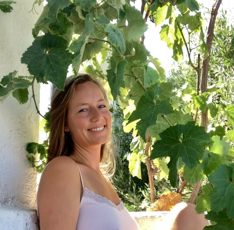
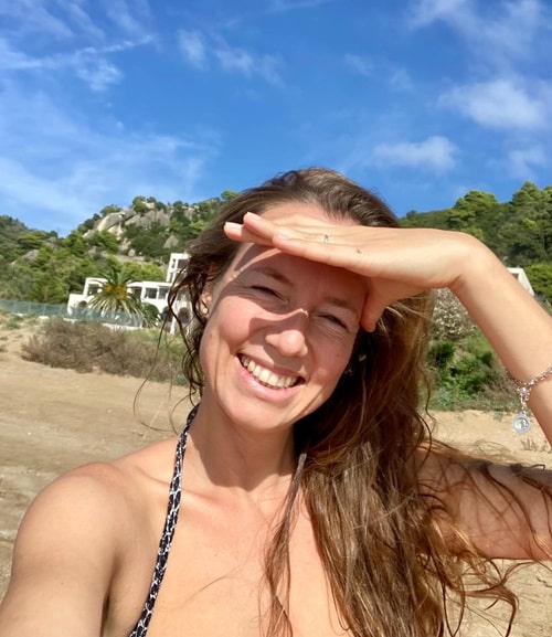
I’m a traveler, anthropologist, and flight specialist who believes that the journey itself is the goal. I hitchhiked across Canada, lived in New Zealand, trekked through the Himalayas, got lost in Arab medinas, and explored dozens of other corners of the world. But what I love most are the hidden Greek tavernas where time seems to stand still. I cherish the stories of the people I meet on the road and look for beauty in those moments when the world fully opens up. Here, I share those journeys – both big and small – with you. And I also add tips on how to travel smart, sustainably, and with heart – from cheap flights to hidden places you won’t find in guidebooks.